

Laurel Highlands Hiking Trail Backpacking Guide
/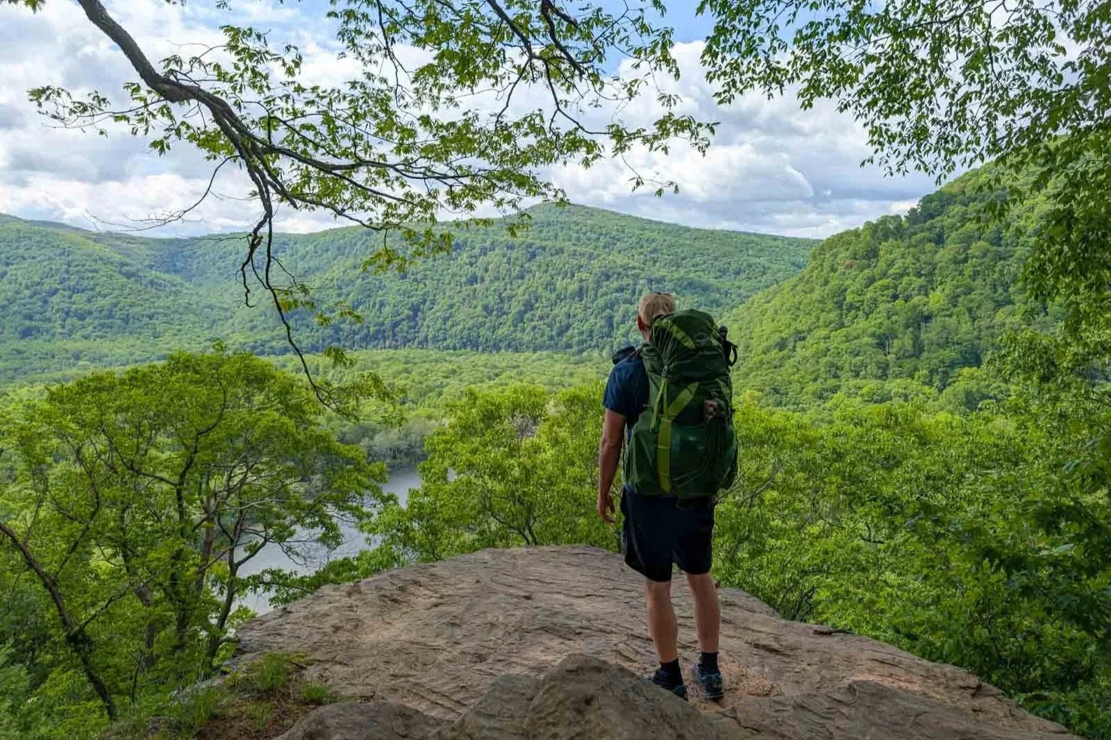
A view in ohio state park overlooking the youghiogheny River
This article may contain affiliate links.
The Laurel Highlands Hiking Trail (LHHT) is one of Pennsylvania's most popular backpacking trails. It stretches over 70-miles along the Laurel Mountain ridgeline. It starts at the picturesque Youghiogheny River at Ohiopyle and ends at the Conemaugh Gorge near Johnstown.
The LHHT offers numerous expansive views of the surrounding area. Along the way, you’ll also hike through vibrant hardwood forests, dense hemlock groves, giant rock mazes, rhododendron-lined streams, and thickets of mountain laurel.
One feature that this trail is known for is its charming Adirondack-style shelters. These shelters not only provide a dry place to sleep at night but also add a touch of comfort with their stone fireplaces.
Whether you’re a beginner or an experienced backpacker, the LHHT guarantees an unforgettable experience.
Trail Facts
Length: 70.1 Miles
Trail Blazes: Yellow
Duration: 4-5 Days
Elevation Gain: 10,449 Feet
Peak Elevation: 2,961 Feet
Best Season to Hike: Spring to Fall
Difficulty Level: Moderate to Challenging
Bear Canisters: Not Required
Permits: Required
Dogs: Allowed
Highlights
Expansive Views
Mountain Streams
Rock Mazes
Mountain Laurel
Bullrush Pond
Adirondack-Style Shelters
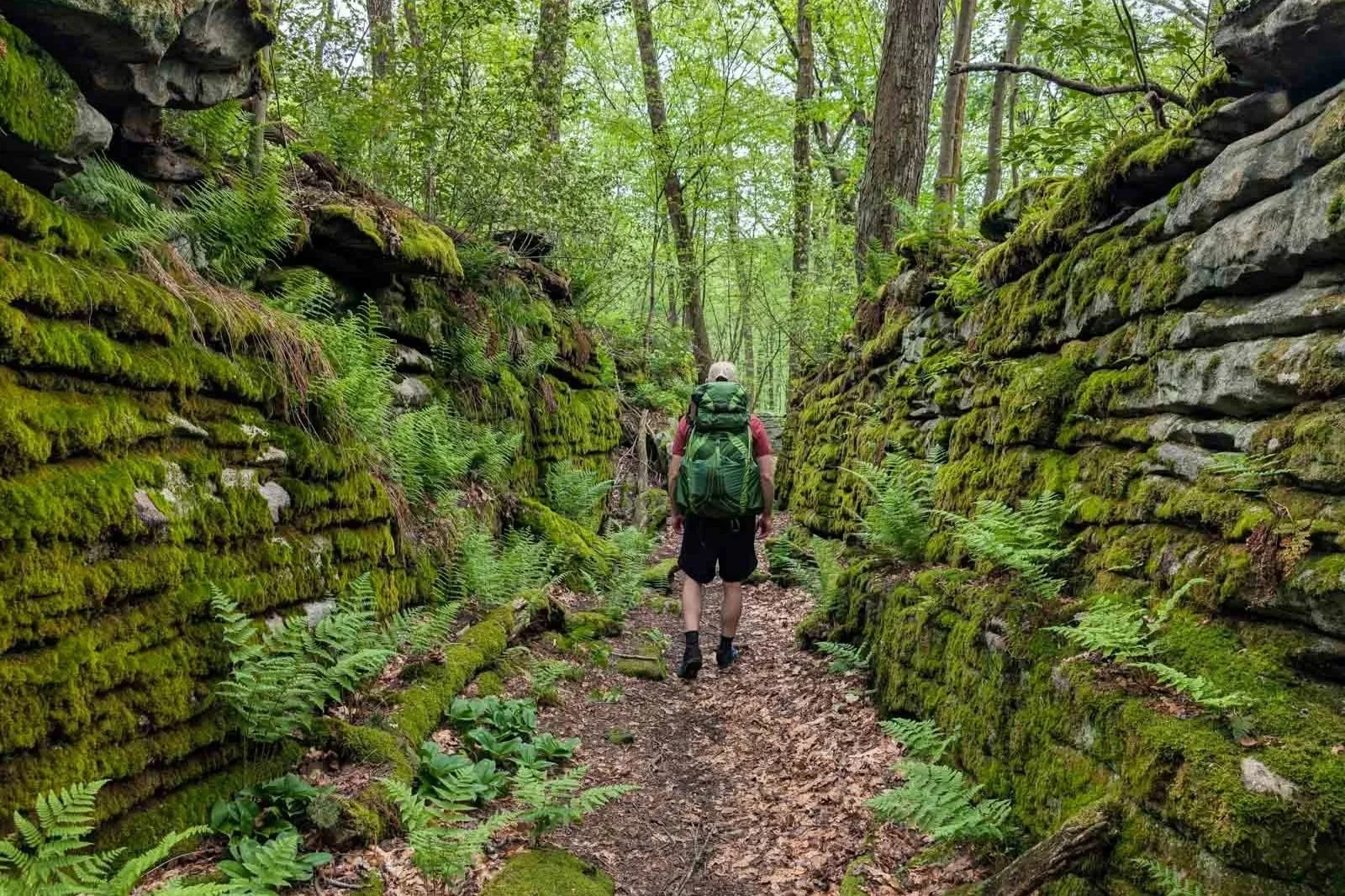
Moss covered rock maze on the Laurel Highlands hiking trail
Maps & Information
Laurel Highlands Hiking Trail Map: For pre-trip planning and trail navigation, I recommend the waterproof map from Laurel Ridge State Park. It provides detailed information, such as mileage, elevation profile, points of interest, water sources, and parking areas.
Coming soon!! The Laurel Highlands Hiking Trail Guidebook and Map: It includes a pocket-sized guidebook and three waterproof 11x17 color maps. The guidebook begins with essential information to help you plan your hike. It also includes detailed turn-by-turn directions that highlight key trail features. The map complements the book by showing locations of parking lots, water sources, camping areas, and points of interest. It also shows elevation and mileage.
AllTrails App: For backpackers who prefer to navigate with digital maps, the AllTrails app is excellent. It uses your mobile phone’s GPS to track your position on the route. You’ll find the LHHT along with over 400,000 other trails. The app provides you with elevation profiles, mileage, campsites, water sources, and points of interest.
Parking
Six official trailheads can be found along the LHHT. These trailheads are strategically positioned throughout to let you park and hike the whole trail or make it possible to do section hikes.
Overnight parking is permitted at these trailheads for free, and each can hold approximately 30 cars. I parked overnight at several of these trailheads and had no issues with vandalism or break-ins. From some of these trailheads, short, blue-blazed connector trails link to the LHHT. Below is a list of all the trailhead locations and their coordinates.
Ferncliff Trailhead: (mile 0) Coordinates: 39.87231, -79.49436 Note: Prior authorization is needed for overnight parking from Ohiopyle State Park (724-329-8591)
Route 653 Trailhead: (mile 18.8) Coordinates: 39.95485, -79.36887
Route 31 Trailhead: (mile 30.6) Coordinates: 40.06017, -79.27376
Route 30 Trailhead: (mile 45.8) Coordinates: 40.17493, -79.12209
Route 271 Trailhead: (mile 56.9) Coordinates: 40.281928, -79.049868
Route 56 Trailhead: (mile 70.1) Coordinates: 40.41227, -79.00317
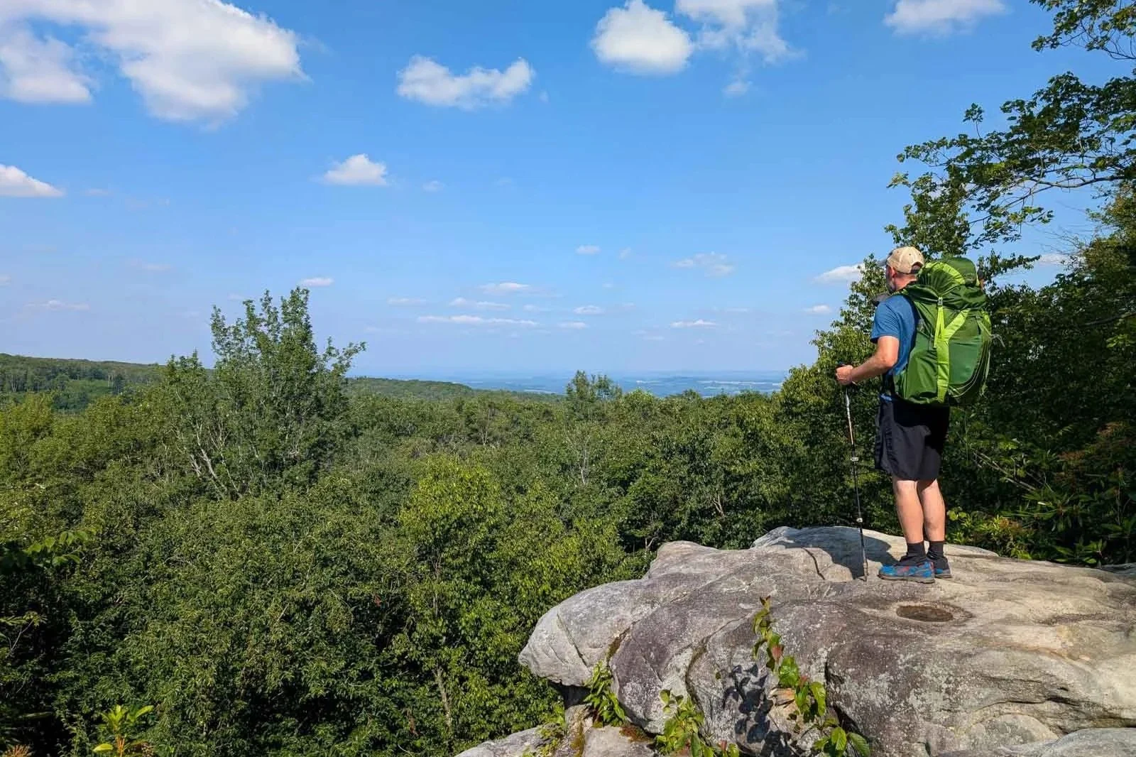
beam rocks overlook
Shuttle
Since the trail is a point-to-point hike, you’ll need to decide how you’ll get back to your car. If you’re in a group, you may decide to bring two cars and park them at each end of the trail. However, if you’re going solo or your group is riding in one car, you’ll need to use a shuttle service.
Wilderness Voyageurs offers a shuttle service for the entire LHHT. I've used this company several times. They’re reliable, and I had no trouble with the reservation process. Call 800-272-4141 to reserve a shuttle. The cost of the shuttle varies. It can be anywhere from $75-$185. It all depends on how far they have to drive.
When reserving a shuttle, you must plan it so you’re hiking toward your car. They will not just pick you up at a trailhead and take you back to your car.
Terrain
The trail follows the Laurel Ridgeline, so you might think it will be easy to hike, but that’s not quite true. I found that the LHHT felt deceptively hilly. Overall, the trail climbs about 10,449 feet, with the highest elevation peaking at 2,961 feet.
The most challenging section comes in the first eight miles of the trail. This section features multiple climbs, including a steep 1,200-foot climb along Camp Run, the trail's biggest ascent. However, there are several flat, cruisy sections that offer a welcome relief from the more intense terrain.
The trail’s tread is relatively smooth. You won’t encounter a significant amount of tree roots or rocks that you need to deal with.
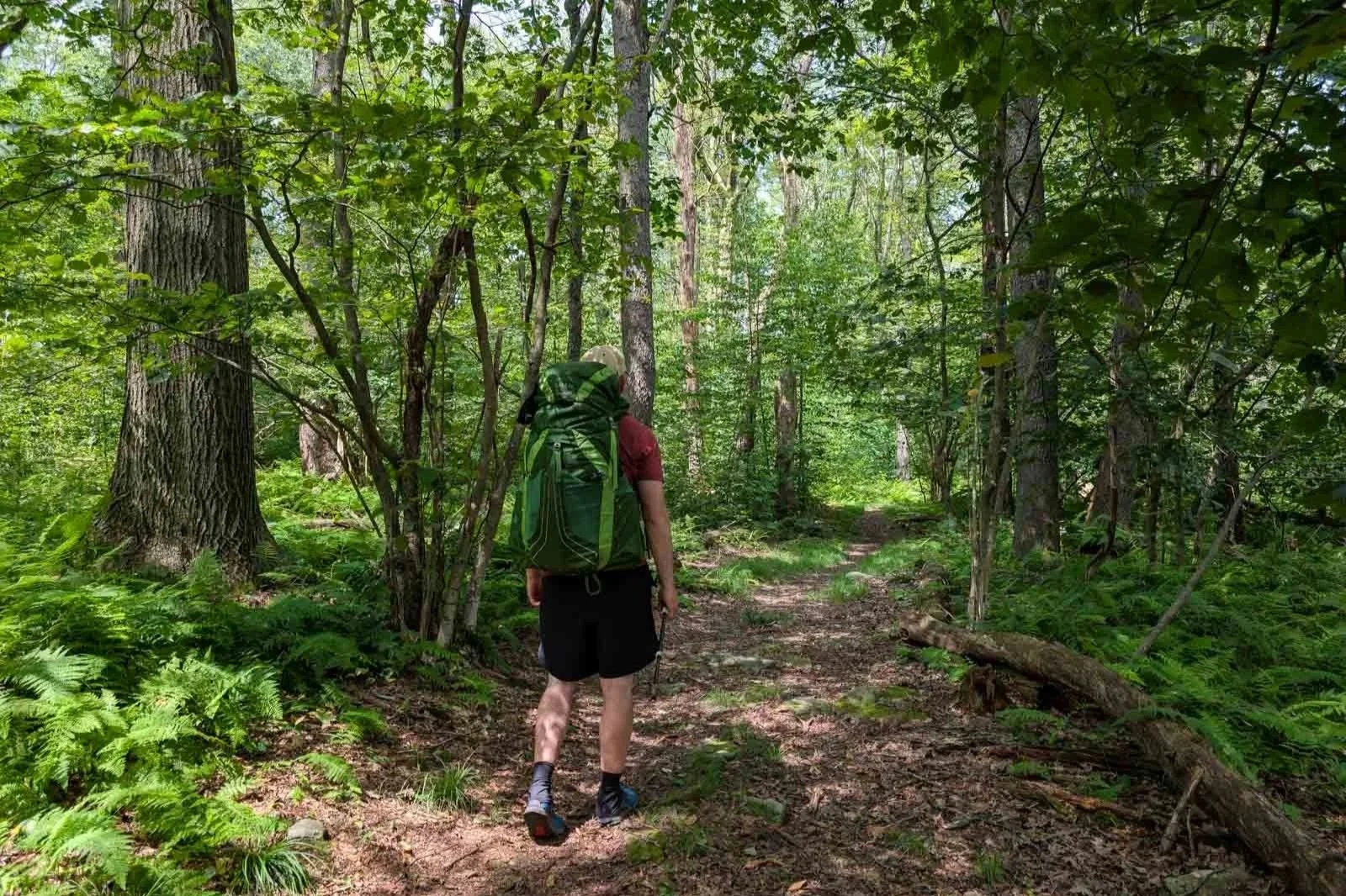
backpacking the laurel highlands hiking trail
Wildlife
The LHHT features a wide variety of wildlife. Among them are a few you should know about, so you can take the proper precautions to remain safe.
Black bears are animals you’ll want to be careful of. Even though they aren’t commonly seen on the LHHT, a small population still lives in the area. Most of the time, when they see you, they will just run off scared. However, backpackers should be aware that a mother bear with her cubs can be more aggressive.
Another thing that can make a bear slightly aggressive is when people get between them and food. To avoid this situation from happening, hang your food from the bear poles provided at the shelter areas at night. Bears are opportunists, and if you don’t store your food properly, you’ll have an unwelcome visitor at your camp.
Rattlesnakes are another concern. You often see them sunbathing in rocky areas during warmer weather. Rattlesnakes are poisonous and should always be avoided. Although they aren’t aggressive creatures, they will strike if they feel threatened. Their rattle warns you of their presence. However, hikers should not rely on their rattle alone. You should watch the trail ahead of you for them.
Lastly, ticks are a big concern on the trail. They can carry Lyme disease, which can lead to serious health problems. When I did this hike, I found some sections were grassy and slightly overgrown, which increases your chance of getting one on you. In fact, on one occasion I actually found a tick on me.
To avoid ticks, you should stay on the trail as much as possible and avoid tall grass. You can also treat your clothing with Permethrin before your trip, and while you’re on the trail, spray Picaridin on any exposed skin.
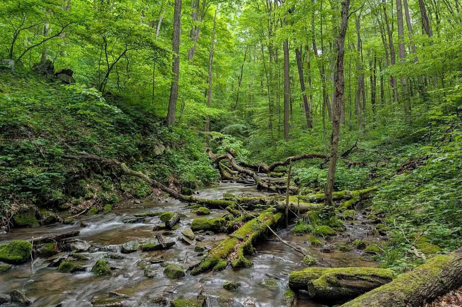
Rock spring run along the Laurel highlands hiking trail
Water Sources
On the southern half of the LHHT, you’ll find many mountain streams where you can refill your water bottles. However, on the northern half of the trail from Route 271 to the Northern Terminus, expect long stretches with no water.
All shelter areas have manual water pumps for drinking water except Route 56 Shelter Area; it has a water spigot. These pumps can be a challenge to prime. Expect to work for your water. Water from some of these pumps can contain sediment and may slow your filter's flow rate.
Sometimes the rangers remove Grindle Ridge Shelter’s pump handle to prevent use because of contaminants in the water. (Check with Laurel Ridge State Park before your trip) Two water spigots also provide water along the trail. One is at mile 18.65, at the Route 653 parking lot. The other spigot is at mile 26.08, where the trail crosses Airport Road.
At mile 24.68, you’ll come to Blue Hole Creek. While this is a pretty stream and looks fine to use as a water source, the water here is contaminated and shouldn’t be consumed, even with filtration. There are signs to warn you, so you know to avoid it.
One thing I experienced on this trail during the summer months is that many water sources dried up because of low rainfall. During those times, carry a little extra water in case your planned fill-up spot is dry, and you have to hike to the next one. During a drought, in the northern half of the trail, you may only be able to get water from the shelter water pumps.
I’ve marked all the water sources on the interactive map below to help you come up with a strategic water plan.
Don’t forget to filter your water. Parasites and bacteria are concerns at these water sources. I recommend the Sawyer Squeeze Filter. It’s lightweight, affordable, and has a fast flow rate.
Camping
On most Pennsylvania trails, you can camp anywhere along the trail as long as you follow certain regulations. However, on the LHHT, you’re limited to eight designated camping areas spaced 6 to 12 miles apart.
Each camping area has five Adirondack-style shelters, space for about 10 tents, pit toilets, a bear pole, a trash can, a water pump, and firewood.
Shelters and tent sites must be reserved in advance. There is an overnight camping fee of $4/person/night for Pennsylvania residents and $5/person/night for nonresidents. To make a reservation, click here.
The Adirondack Shelters are probably one of my favorite features of the trail. After a long day of hiking, I liked not having to worry about setting up a tent. All I had to do was take out my sleeping bag and pad. After dinner, it was really nice to relax by the fireplace and enjoy the soothing sound of a crackling fire.
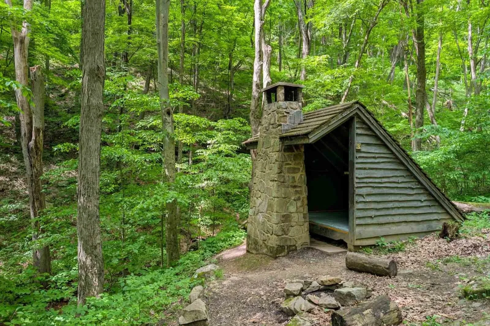
adirondack-style shelter on the laurel highlands hiking trail
Possible Trip Itinerary
4 Day Trip Option:
Day 1:
Start at Ohiopyle Trailhead
Hike 18.5 miles
Camp at 653 Shelter Area
Day 2:
Hike 19.7 miles
Camp at the Turnpike Shelter Area
Day 3:
Hike 18.7 miles
Camp at the 271 Shelter Area
Day 4:
Hike 13.2 miles
Finish hike at Route 56 Trailhead
5 Day Trip Option:
Day 1:
Start at Ohiopyle Trailhead
Hike 6.3 miles
Camp at Ohiopyle Shelter Area
Day 2:
Hike 17.7 miles
Camp at Grindle Ridge Shelter Area
Day 3:
Hike 14.2 miles
Camp at Turnpike Shelter Area
Day 4:
Hike 18.7 miles
Camp at Route 271 Shelter Area
Day 5:
Hike 13.2 miles
Finish hike at the Route 56 Trailhead
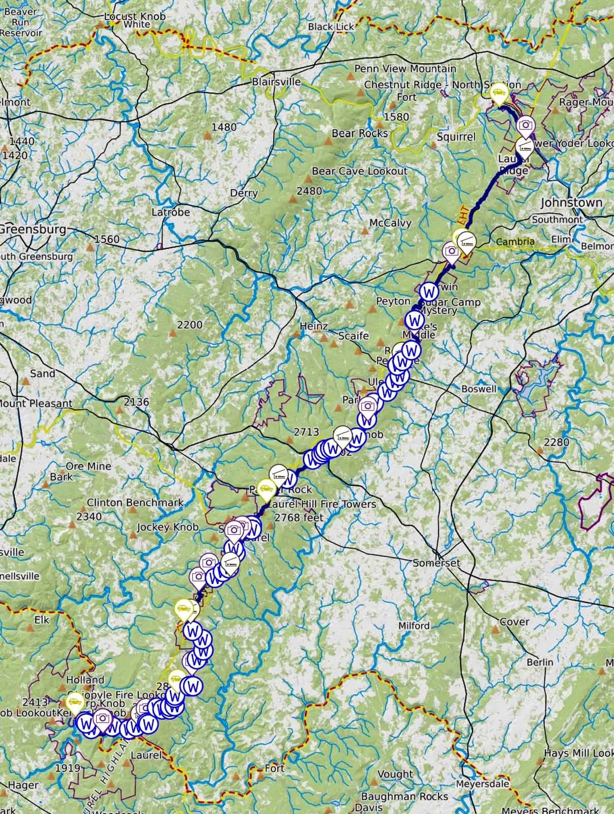
Click Here
to open an interactive CalTopo map
Related Articles
Allegheny Front Trail Backpacking Guide
The Allegheny Front Trail is a 42-mile loop in Pennsylvania's Moshannon State Forest. You'll experience six incredible vistas while traversing a variety of habitats, including wetlands, diverse forest types, and rhododendron thickets.
Susquehannock Trail System Backpacking Guide
The Susquehannock Trail System is an 83.4-mile loop located in Potter County, Pennsylvania. As you traverse the trail, you'll encounter a variety of landscapes, including steep hillsides and valleys, wetlands, diverse forest types, open meadows, cascading streams, and a few nice overlooks.