
Pinchot Trail System Backpacking Guide
/
Choke creek falls
This article may contain affiliate links.
The Pinchot Trail System is a 23 mile loop located in Lackawanna County on top of the Pocono plateau in northeast Pennsylvania. The word "System" is in the name because when it was first constructed, several preexisting trails were connected to form one large loop. Many of those old names are still visible on trail signs throughout the loop for their historical interest.
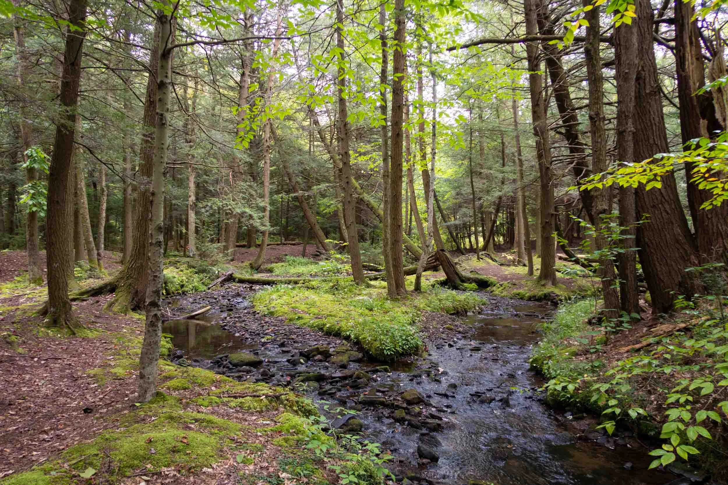
If you're searching for a trail with breathtaking mountain vistas, this trail isn’t for you. Nevertheless, with what it lacks in views, it makes up for in its character. The Pinchot Trail has you traversing through a variety of natural ecosystems, including dense hemlock forests, open meadows, rhododendron tunnels, picturesque streams, and a waterfall.
The Pinchot Trail also offers different hiking options. The loop is bisected by a main road, creating a north and south section. If you don’t mind a little road walk, you can do just one of those sections as a day hike or a short overnight trip.
In this article, I will help you plan your backpacking trip so you can avoid any mishaps and have the best adventure possible.
Trail Facts
Length: 22 Miles
Trail Blazes: Orange
Duration: 2-3 Days
Elevation Gain: 1731 Feet
Peak Elevation: 2,174 Feet
Best Season to Hike: Spring to Fall
Difficulty Level: Very Moderate
Bear Canisters: Not Required
Permits: Not Required
Dogs: Allowed
Highlights
Choke Creek Falls
Choke Creek
Painters Creek
Great Campsites

Pinchot Trail meadow
Maps & Information
Pinchot Trail Guide Book & Map: This book is a must-have when planning for this hike. The guidebook breaks down in great detail what you will encounter on the trail in the form of trail notes so you can prepare accordingly. You’ll find that it contains mileage points, possible campsite locations, and water sources.
Backpacking Pennsylvania: 37 Great Hikes: This guidebook is a great resource for familiarizing yourself with all the different backpacking trails in PA. It provides information on the terrain, degree of difficulty, maps, and features you’ll enjoy along the trail.
AllTrails App: For backpackers who prefer digital maps to navigate with, the AllTrails app is great. It uses your mobile phone’s GPS to track your position on the route. You’ll find the Pinchot Trail there, along with over 400,000 other trails. The app provides you with elevation profiles, mileage, campsites, water sources, and points of interest.
Parking & Trailheads
The Pinchot Trail System's main trailhead is located on the north side of Bear Lake Road, just west of Pittston Road. It can be found at these coordinates: 41.21935, -75.63123. You'll see a sign from the road marking the trailhead parking area. The main parking lot has plenty of space for several cars. This is a good parking spot if you're starting with the north side of the loop.
Farther down the road heading west, there is another smaller parking area on the south side of the road. It's where Tannery Road meets Bear Lake Road. It can be found at these coordinates: 41.21554, -75.64228. This is a good parking spot if you're starting on the south side of the loop. On a weekend or holiday, this parking area can fill up fast.
To further help you understand where the parking areas and trailheads are, I also have the exact locations marked on the interactive map below.
Painter’s Creek
Terrain
The Pinchot Trail is located on top of the Pocono plateau, which has mostly flat terrain with some rolling hills. The cumulative elevation gain is only 1731 feet, which makes this trail perfect for beginners or backpackers who want a more relaxing trip without exerting themselves too much.
Trail Conditions
The Pinchot Trail is well-worn, generally well-marked, and easy to follow. However, in the summer, certain sections can become overgrown and require some mild bushwhacking. The main area of concern is in the northern section of the loop, between mile 19.24 and mile 20.42.
The trail has only a few rocky sections, but there is nothing to really worry about. It’s pretty much a very smooth trail to hike. One thing to keep in mind is that since it’s a flat trail, the area doesn’t drain well and holds onto water, and it can get very swampy, especially around the Choke Creek area.
To deal with these conditions, I strongly encourage you to bring extra socks and wear shoes that dry quickly. I recommend the Vermont Darn Tough socks and Altra Lone Peak 9 Shoes. Both pieces of gear excel in these environments.
Dangers
The Pinchot Trail is a very safe trail to hike. However, there’s one thing to be aware of. Bears are a common sight along the trail. With bears, they will mostly keep their distance. However, they’re opportunists, and if you don’t store your food properly at night, you will have a visitor at your camp.
So, be sure to pick up a Bear Hang Kit before your trip and make sure you know how to use it effectively. If you’re unsure how to do this, check out my blog post, How to Hang a Bear Bag the Right Way.

Choke creek
Bugs
Part of the Pinchot Trail follows Choke Creek and passes by several swamp areas, so mosquitoes are a concern, especially in springtime. Also, certain sections of this trail are slightly overgrown, and other areas have tall grass that you have to hike through, so ticks are a potential problem, especially since Pennsylvania is the tick capital of North America.
So, make sure you take all the necessary precautions to protect yourself. To guard against these insects, use a combination of Permethrin Spray on your clothing and Picaridin Spray on any exposed skin.
To learn about additional precautions you can take to guard against these insects, check out my article on How to protect yourself from ticks and mosquitoes when hiking.
Water Sources
On the Pinchot Trail, water is readily available on the southern half of the loop due to the trail following Choke Creek most of the time. However, there are fewer water sources on the northern half of the loop. With Painter's Creek at mile 16.42 and Spring Run at mile 20.42 being the only ones.
Due to this, I strongly recommend that you have a solid water carry plan. To help you, I have marked many of the water sources on the interactive map below.
Also, make sure to filter your water. Protozoa and bacteria are concerns. One of the best water filters on the market is the Sawyer Squeeze because it's lightweight, affordable, and has a fast flow rate.

Hemlock forest on the pinchot trail
Campsites
One of the trail's strong attributes is its beautiful camping spots by Choke Creek and Painter's Creek. There's nothing like enjoying a campfire in the evening with the sound of a gurgling stream in the background. These camp spots are some of the best in Pennsylvania.
Most campsites are easy to find because they're not far off the trail, and you can usually pick them out by their stone fire rings. However, for your pre-trip planning, I marked the location of all the campsites throughout the loop on the interactive map below.
Choosing the right campsite is essential for your comfort and safety when backpacking. With so many campsite options along the Pinchot Trail, deciding which one to pick can be difficult. To learn how to choose the right one, check out my article on 8 tips on choosing the perfect campsite.
Since the loop is located within the Pinchot State Forest boundaries, you can pretty much camp anywhere you want as long as you follow the regulations below.
No camping in designated Natural Areas
Camp at least 200 feet from a forest road
Camp at least 25 feet from a trail
Camp at least 100 feet from a stream or any open water
Pack out all trash, leftover food, or other waste
Bury human waste by digging a cathole six inches deep and at least 200 feet away from any water source
Permits aren't needed to camp except in the following situations:
If you desire to have an emergency point of contact.
If you want to have a campfire during the annual spring wildfire season. (March, April, and May)
If you're going to camp at the same site for more than one night.
To request a primitive backpacking permit in Pinchot State Forest, contact the district office at 570-945-7133.

my campsite on the pinchot trail
Which Direction Should You Hike?
I chose to hike the Pinchot Trail in a clockwise direction, in the same direction the guidebook has you go. This makes it easier to follow the guidebook and know where you’re at on the map. However, besides that, there’s really no benefit from going one direction over another other than personal preference.
Possible Trip Itinerary
3-Day Trip (clockwise)
Day 1:
Start at the trailhead where Tannery Road meets Bear Lake Road (Check the map below for exact location)
Hike for 7.56 miles
Camp along Choke Creek
Day 2:
Hike for 8.86 miles
Camp along Painter’s Creek
Day 3:
Hike for 5.79 miles
Arrive back at the trailhead along Bear Lake Road

Click Here
to open an interactive CalTopo map
Related Articles
Old Loggers Path Backpacking Guide
The Old Loggers Path is a 27.8-mile loop hike located in the Loyalsock State Forest of Pennsylvania. This trail takes you back in time by having you follow a network of old logging roads and railroad grades. Throughout this hike, you’ll be able to enjoy many expansive views and picturesque streams like Rock Run.
Loyalsock/Link Loop Backpacking Guide
This hike takes a section of the Loyalsock Trail and uses a link trail to form a small loop. It’s 17-miles long and offers a variety of scenery. There are amazing views such as Canyon Vista, dense hemlock forests with moss, incredible campsites along the serene Sones Pond, and much more.